


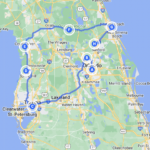


Public transportation is the backbone of urban mobility in nearly every major metropolitan region. From metros to trams, buses to commuter rail, ferries to cable cars, cities rely on interconnected transit networks to move millions of residents, commuters, and tourists every day. To use these systems efficiently, understanding how to read and interpret public transport maps is crucial—especially when visiting unfamiliar cities. In 2026, public transport maps are more accessible than ever, with digital applications, interactive journey planners, GPS tracking, and multilingual signage helping travelers navigate global transit systems with ease.
- Why Public Transport Maps Matter for Travelers
- Types of Public Transport Maps
- How to Read Transit Maps Correctly
- Digital vs Printed Maps: What’s Better for Travelers?
- Best Public Transport Map Designs in the World
- Public Transport Maps for Airports and Tourist Zones
- Apps for Public Transport Maps and Navigation in 2026
- The Evolution of Public Transport Maps
- Tips for Using Public Transport Maps When Traveling Abroad
- Frequently Asked Questions
- Final Thoughts
This comprehensive guide explores different types of public transport maps, how they are designed, how route diagrams work, how to read them correctly, and how digital navigation tools are changing the way we move through cities. Whether you’re planning a trip to Tokyo, navigating the London Underground, or learning bus routes in Singapore, this guide will help you confidently interpret transit maps and travel like a local.
Why Public Transport Maps Matter for Travelers
Public transport maps serve several important functions that benefit both locals and visitors:
Orientation and Geography
Maps help users understand the layout of the city and the relationship between neighborhoods, landmarks, and transit lines.
Route Planning
Maps show available connections, interchange points, and transfer corridors across different systems.


Cost and Duration Awareness
By reading zone maps or line lengths, passengers can estimate travel time and fare costs more accurately.
Accessibility
Maps highlight stations with elevators, ramps, and fare gate access for travelers with mobility limitations.
Alternative Options
In case of delays, closures, or weather disruptions, maps offer alternative bus, tram, or metro routes.
Public transport maps reduce stress, save time, and empower independent travel—an essential skill for navigating dense cities.
Types of Public Transport Maps
Not all public transport maps are the same. Cities often use multiple map styles simultaneously to serve different user needs.
System Maps
These maps show the entire transit network in one unified diagram, often including:


- Metro lines
- Trams
- Commuter rail systems
- Ferries
- Bus rapid transit corridors
Example: The Paris RATP map unifies Métro, RER, trams, and buses.
Line Maps
Line maps focus on one specific route (e.g., an individual metro line, tram line, or BRT corridor), highlighting all stops, terminals, and connections.
Example: London’s Piccadilly Line diagram showing all stations between Heathrow and Cockfosters.
Zone Maps
Cities with zonal pricing display fare zones on their maps. Notable examples include:
- London’s fare zones (Zone 1 to Zone 9)
- Berlin’s ABC zones
- Paris’ concentric fare zones
Zone maps help calculate ticket prices and pass requirements.
Street-Level Bus Maps
Bus networks use geographically accurate maps showing street names, landmarks, and intersections for precision planning.
Cities like New York, Singapore, and Hong Kong provide detailed bus maps for tourists and commuters.
Station Maps
Found inside stations, these maps show:
- Entrances and exits
- Nearby streets
- Ticket machines
- Escalators and elevators
- Bus interchange areas
- Bicycle access points
Station maps help with navigating both above and below ground.
Real-Time Digital Maps
These are app-based live maps showing:
- Train arrival times
- Bus GPS tracking
- Platform changes
- Service delays
- Detour alerts
Apps like Citymapper, Transit, and Google Maps offer real-time views.
How to Read Transit Maps Correctly
Most modern public transport maps use simplified diagrams rather than geographically accurate layouts. This design style is known as a topological map, where the focus is on relative positioning instead of physical distance.
Key elements to understand include:
Lines and Colors
Each transit line is represented by a unique color (e.g., Red Line, Blue Line). Colors help travelers follow paths quickly.
Terminals
Lines begin and end at terminal stations. Direction is typically indicated by the terminal name.
Interchange Stations
These are junction stations where passengers can switch between lines or systems. They are often marked with larger circles or special symbols.
Landmarks
Major tourist spots like airports, stadiums, universities, and squares are often shown for quick orientation.
Service Patterns
Some maps show express vs local trains, differing peak schedules, and night services.
By understanding these components, travelers can plan trips without guessing or asking for help.
Digital vs Printed Maps: What’s Better for Travelers?
Both digital and printed maps have advantages depending on the situation.
Printed Maps Advantages
- No battery required
- Useful underground without signal
- Easy to see entire network at once
- Available at airports, hotels, and stations
Printed maps are especially useful in metros where cell reception is weak.
Digital Maps Advantages
- Real-time tracking
- GPS navigation for buses
- Service delay notifications
- Door-to-door route planning
- Multilingual support
Digital apps are ideal for above-ground travel and first-time visitors.
Many travelers use a combination of both printed and digital maps for maximum efficiency.
Best Public Transport Map Designs in the World
Several cities are praised for their intuitive map designs:
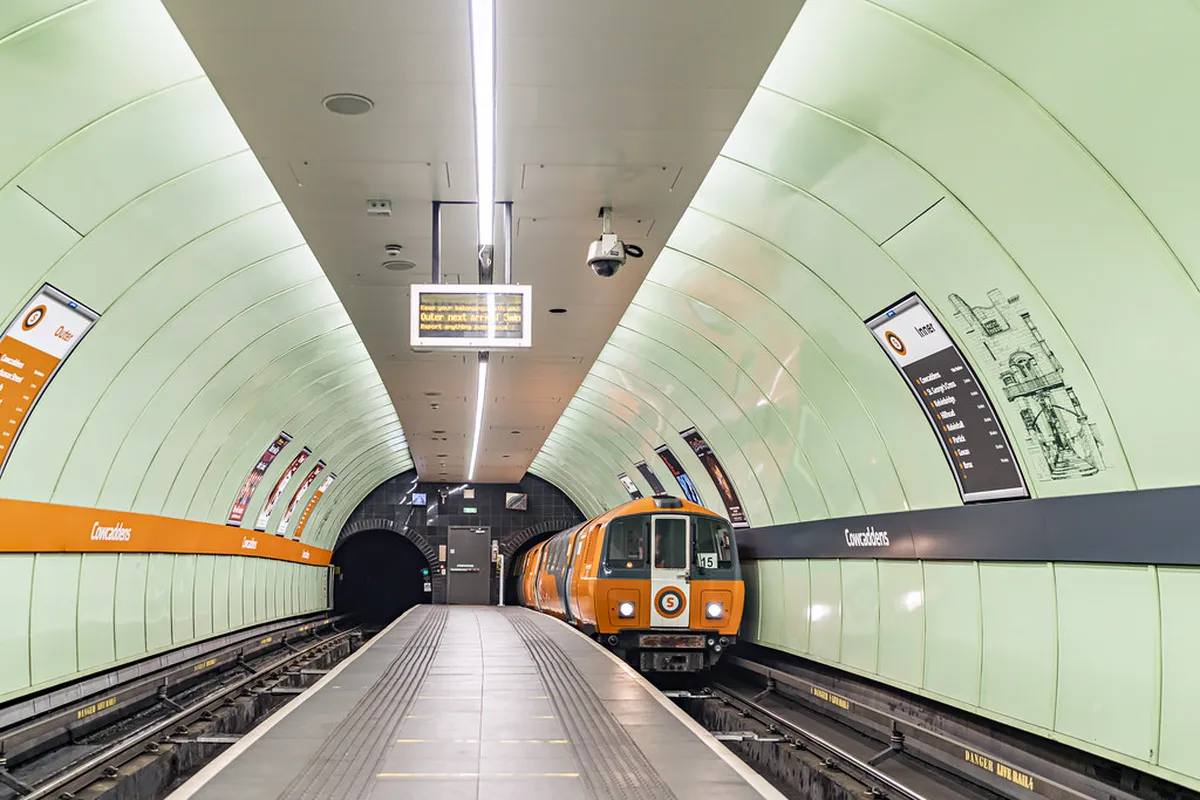
London Tube Map
Designed by Harry Beck in 1933, this map pioneered the modern schematic style. It uses a topological layout instead of geographic accuracy, making it easy to read.
Tokyo Metro + Toei Subway Map
Tokyo’s multi-operator subway network handles immense passenger volumes. Bilingual maps with numbered exits simplify travel for international visitors.
New York Subway Map
Combines geographic accuracy for the outer boroughs with schematic elements for Manhattan, making complex networks understandable.
Singapore MRT Map
Clear, color-coded lines and English signage make navigation easy for tourists and commuters alike.
Hong Kong MTR Map
Integration with Airport Express, ferries, and trams makes it one of the world’s most comprehensive multi-modal maps.
These maps have influenced urban transit map design worldwide.
Public Transport Maps for Airports and Tourist Zones
Airports often provide dedicated transport maps that highlight:
- Express train routes
- Shuttle buses
- Metro connections
- Airport zones and terminals
- Taxi and ride-hail pickup points
Examples include:
- Heathrow rail and Underground map
- Changi Airport MRT and bus connections map
- Tokyo-Narita Skyliner routes
- Dubai Metro + bus feeders map
Tourist maps sometimes combine attractions with transit lines, making sightseeing easier for foreign visitors.
Apps for Public Transport Maps and Navigation in 2026
Digital mapping apps have transformed transit navigation, especially in cities with dense transport networks.
Useful global apps include:
- Google Maps (global real-time routing)
- Apple Maps (integrated transit in major cities)
- Citymapper (best for complex urban networks)
- Transit App (real-time arrivals and bus tracking)
- Moovit (global coverage with alerts)
Regional apps include:
- Suica/Pasmo apps (Tokyo)
- RATP (Paris)
- TFL Go (London)
- MTR Mobile (Hong Kong)
- RouteShuttle (Singapore)
- NY MTA Live (New York)
These apps show real-time data such as:
- Train arrival estimates
- Delay alerts
- Platform changes
- Bus GPS positions
- Bicycle share integrations
This technology reduces the guesswork traditionally associated with public transport.
The Evolution of Public Transport Maps
Transit maps have evolved significantly in the past century:
Early Maps
Focused on street-level accuracy for bus and tram routes.
Mid-20th Century
Schematic metro maps emerged—simplifying navigation.
Late 20th Century
Multimodal integration brought buses, ferries, trams, and metro into unified system maps.
21st Century Digital Era
Real-time maps, apps, geolocation services, and turn-by-turn navigation became standard.
In 2026, augmented reality (AR) maps are emerging, allowing users to point their phone at a street or station to see live overlays of bus stops, train schedules, and walking routes.
Tips for Using Public Transport Maps When Traveling Abroad
International travel often introduces language barriers, unfamiliar symbols, and different fare systems.
Helpful tips include:
- Download offline city maps before travel
- Use English-friendly stations as transfer hubs
- Learn basic transit symbols (exit, transfer, ticket gate)
- Carry a small printed map as backup
- Check first/last train times to avoid getting stranded
- Watch for 24-hour night bus routes in cities without late metros
Understanding public transport maps quickly pays off during urban exploration.
Frequently Asked Questions
Are public transport maps standardized worldwide?
No, styles vary by region, but color-coded schematic maps are becoming globally common.
Do public transport maps show real-time data?
Printed maps don’t, but digital maps and apps do.
Are public transport maps free?
Yes, most are available for free at stations, airports, and tourist centers.
Do all public transport maps show accessibility features?
Modern maps increasingly highlight elevators, wheelchair routes, and barrier-free access points.
Final Thoughts
Public transport maps are essential tools for navigating modern cities. In 2026, with multimodal networks expanding across metros, trams, buses, ferries, and suburban rail, the ability to interpret transport maps empowers both residents and visitors to travel quickly, affordably, and sustainably. Whether printed or digital, transit maps simplify route planning, reduce travel anxiety, and connect people to the heart of urban life.
From London’s iconic Tube map to Seoul’s high-tech subway screens, public transport maps continue to evolve digitally, becoming more accessible, more multilingual, and more interactive. For travelers, learning how to read these maps is one of the most valuable urban travel skills—opening the door to efficient, independent exploration of the world’s greatest cities.
